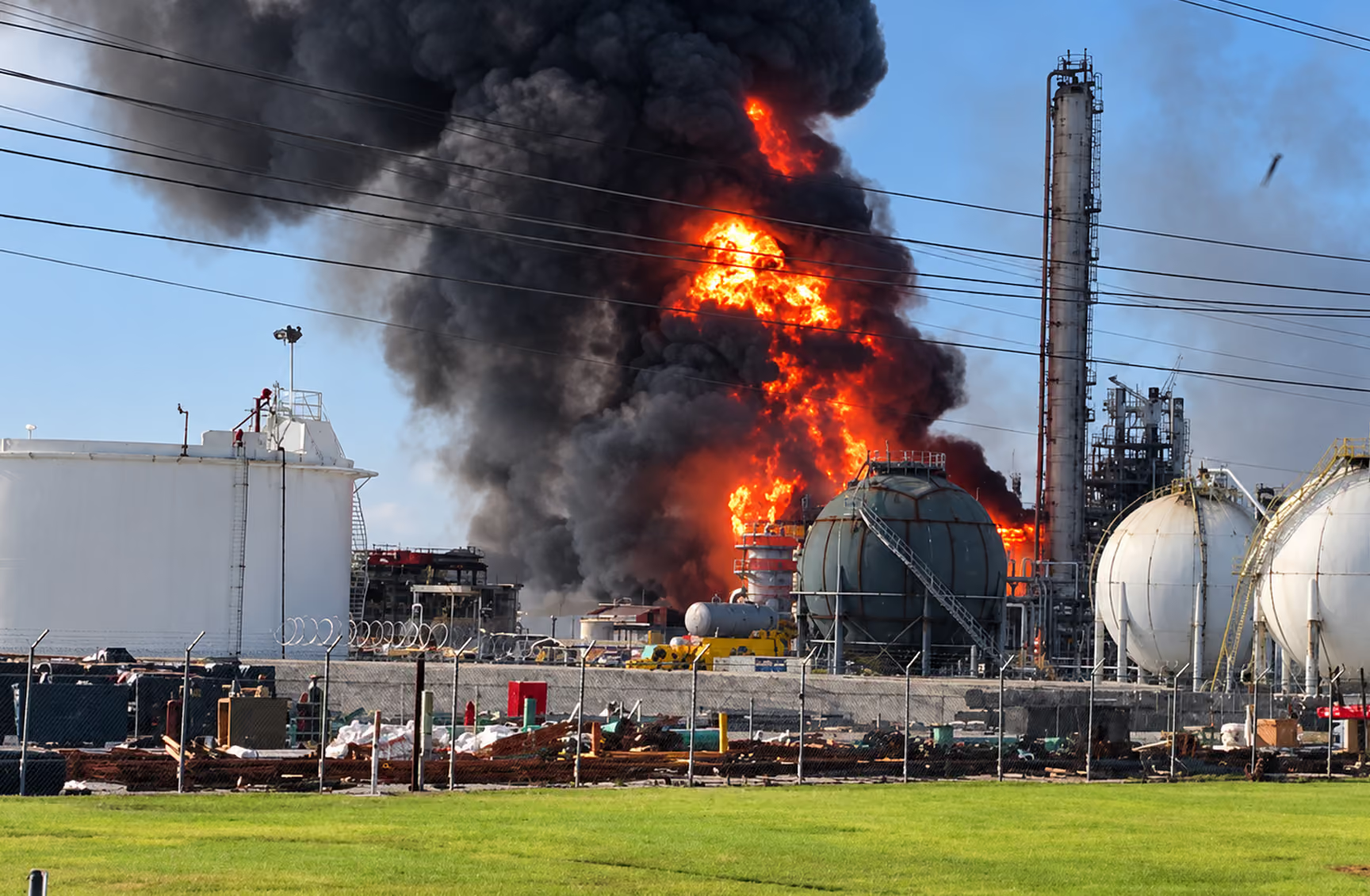
Where the incidents are
This map holds every petrochemical incident we have recorded since 2023. Texas and Louisiana are shaded lighter because that's where the incidents concentrate.
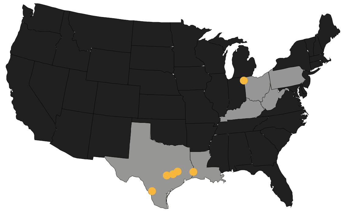
One Petrochemical Incident Every 10 Hours
This map updates every time a petrochemical incident is recorded and verified.
What the Map Leaves Out
The map doesn’t show every incident. It shows the ones that got recorded. Most incidents don’t make the news, and releases that fall below the level the state requires to be reported often never enter any official count. Those are the ones people living closest see most. That gap is why we also publish what residents tell us.
